For almost 4 years now, Cindy and I have been tracking down and visiting massive concrete arrows that were laid across the country back in the 1920's and were used as a visual aid to help guide early U.S. Airmail pilots flying along the Transcontinental Airway. While most of these arrows and the towers that were built on top of them have long since been removed, destroyed or swallowed up by time, a few of them can still be found and many of those, in the State of Nevada.
On our most recent arrow quest, we went looking for a beacon that we had a pretty good idea, "should" exist if only because it would have been situated about halfway between 2 other beacons that we knew, to exist. Of course, understanding the terrain and the general route that the pilots would have followed, we assumed that a course correction would have been necessary and that's what ultimately helped us to find it. In the end, it took a bit of a hike to reach the concrete arrow but it was well worth the effort. Here are some shots of what it looked like.
Shot of Rubicat taking us as close as possible to the airway beacon site.
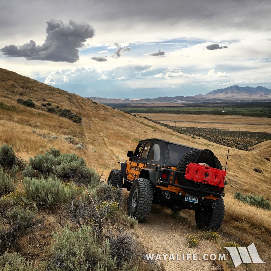
If there was a trail leading up to the airway beacon, we couldn't find it and decided to hoof our way to the top.
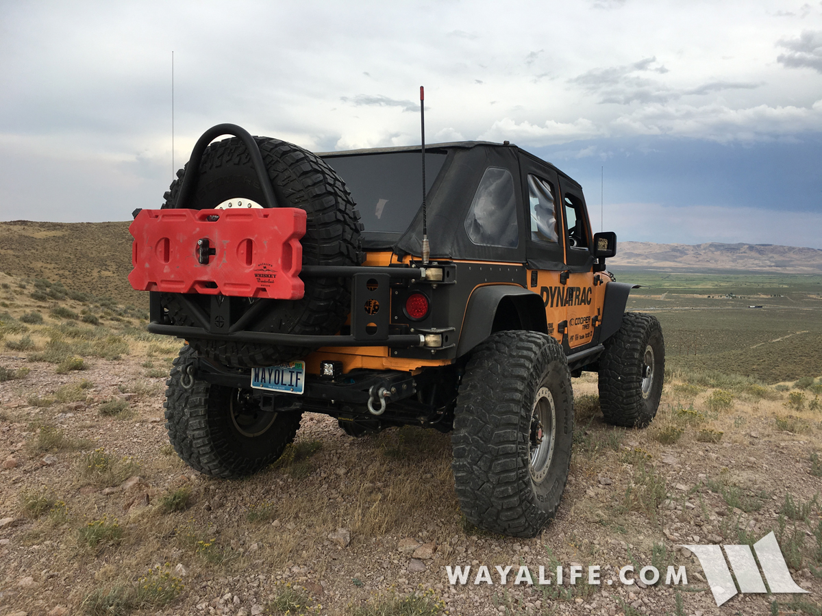
A shot from our hike up the mountain with a storm heading our way.
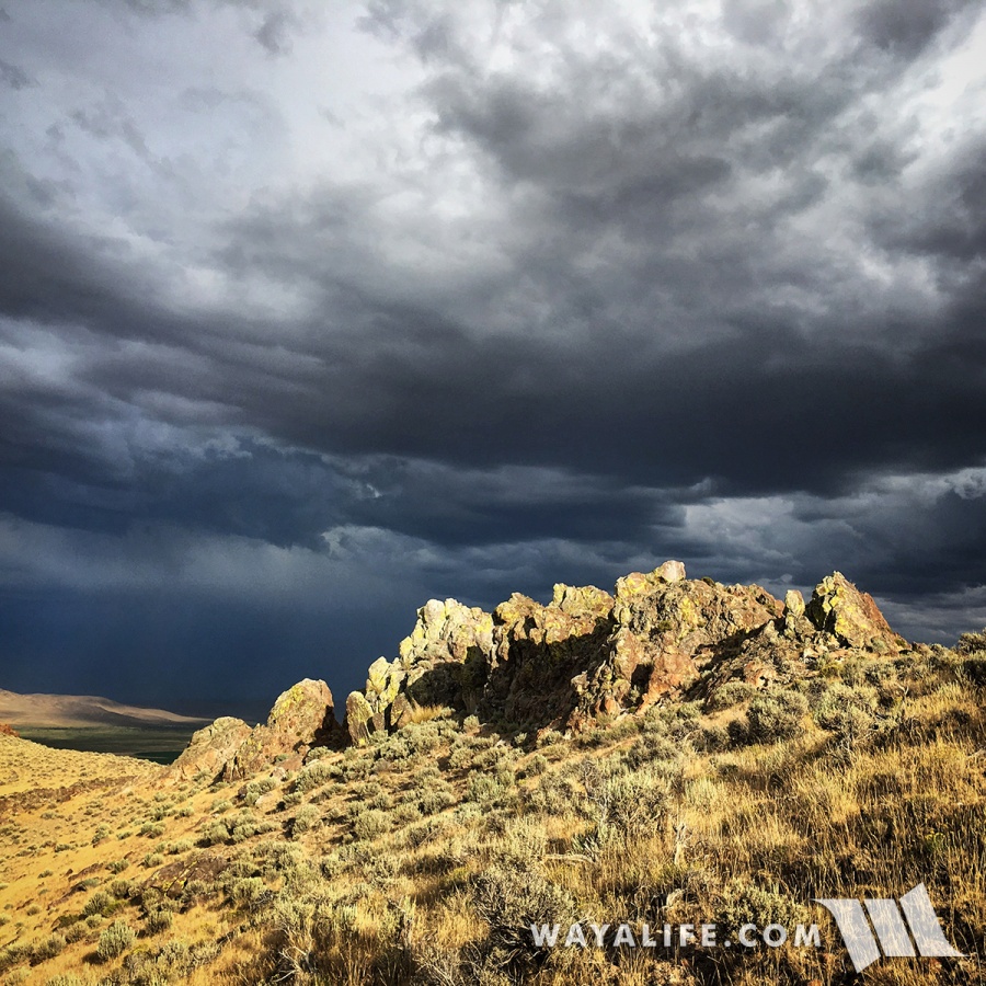
Almost to the top and looking back down at Rubicat.
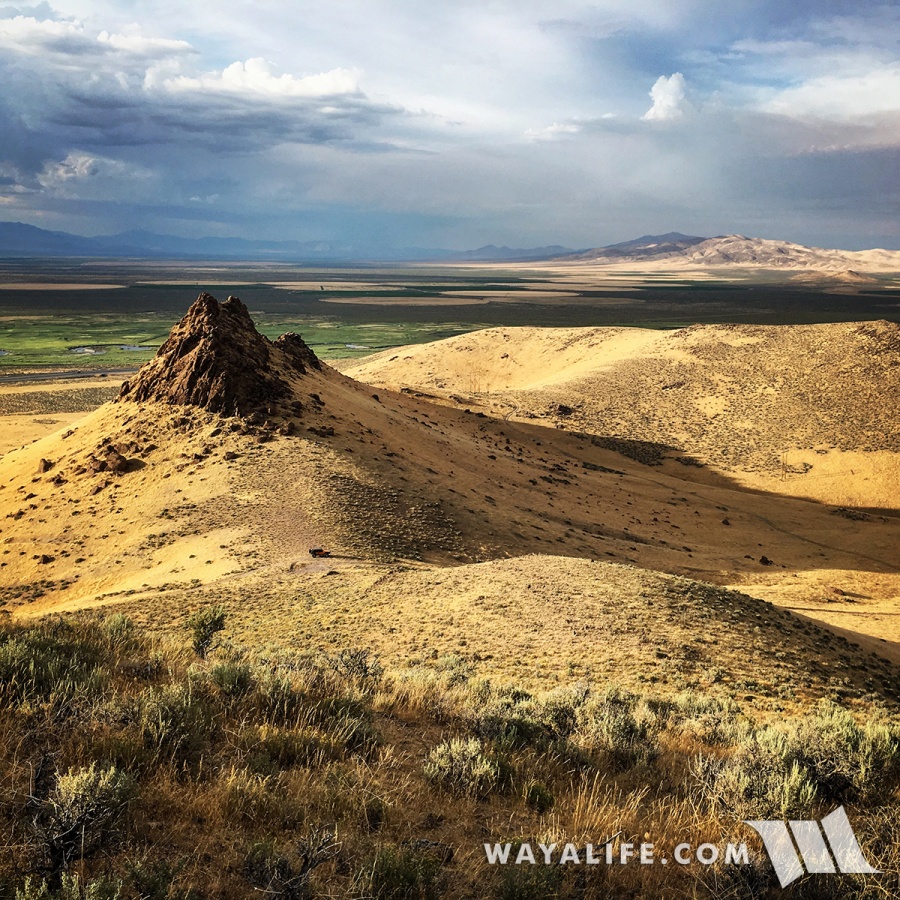
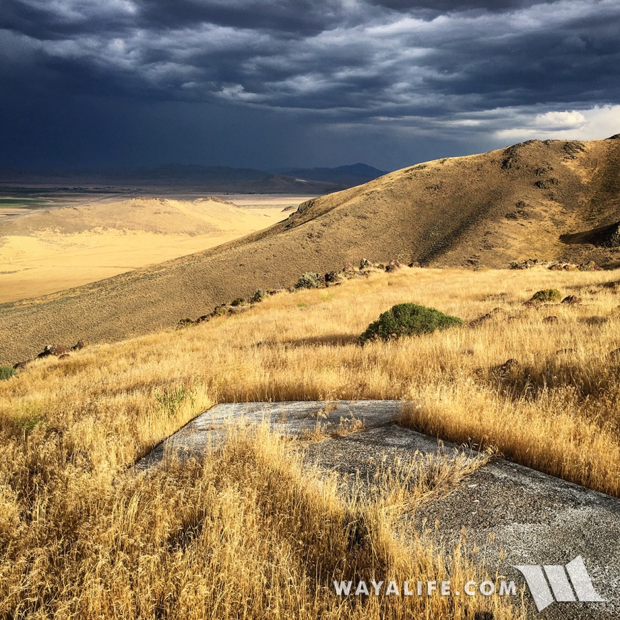
After climbing to the top of this peak, we were rewarded with a concrete arrow pointing to this amazing view.
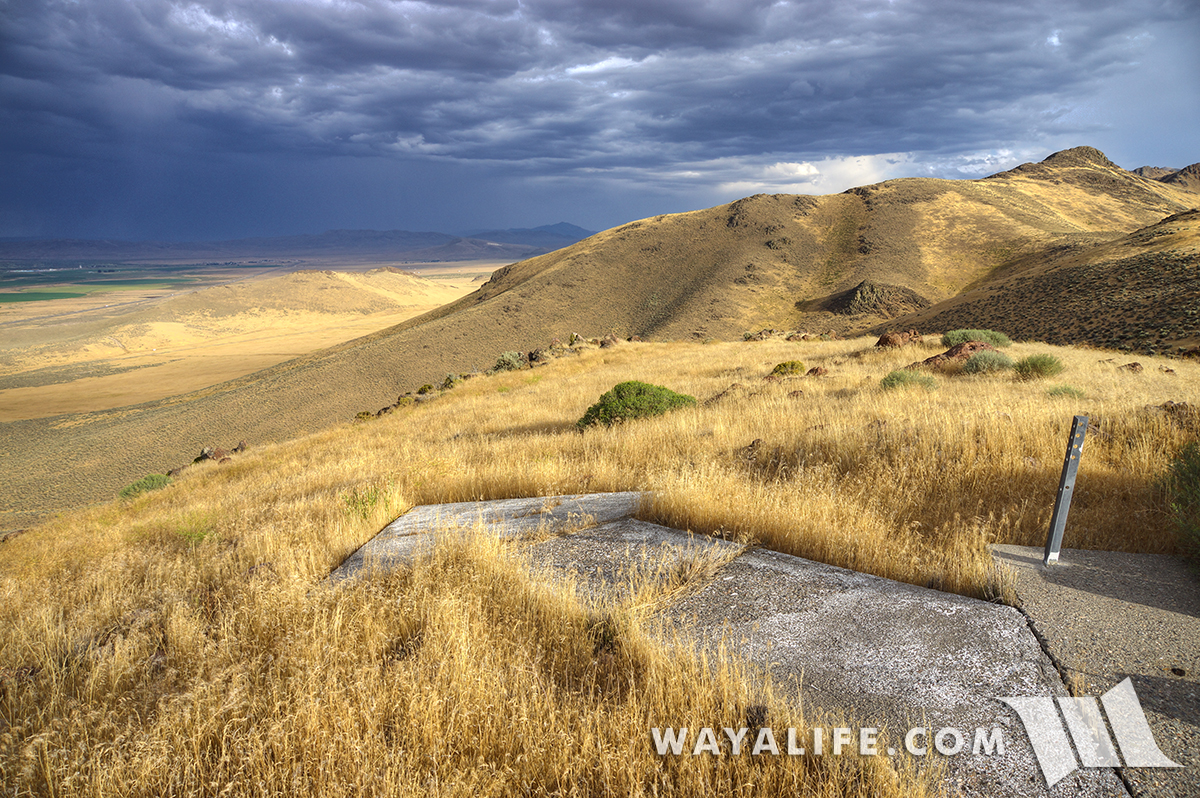
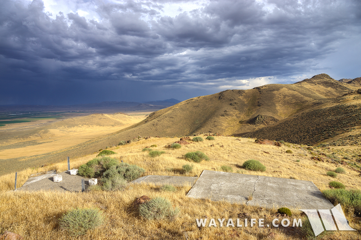
Shot of the whole concrete arrow wrapping over the summit and pointing in the new direction pilots would have needed to fly.
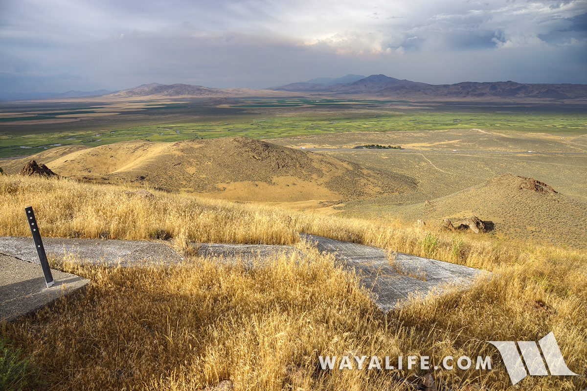
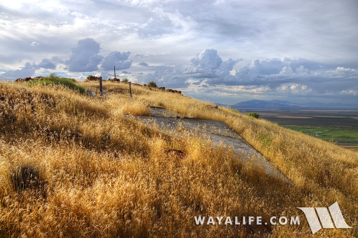
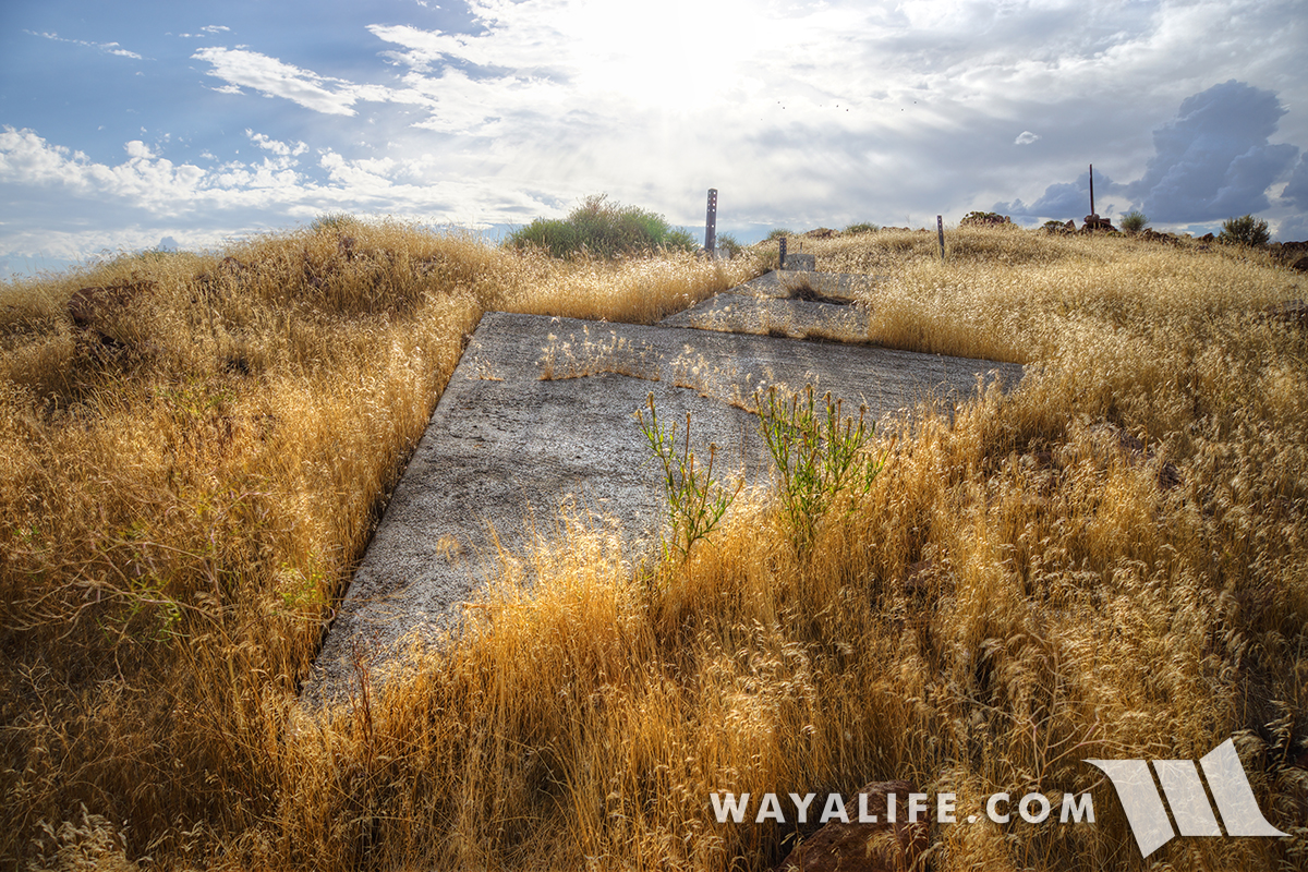
A parting shot before heading back down the mountain.
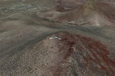
For reference, here's what it looks like from Google Earth.
Unfortunately, due to the storm coming in and prior commitments we needed to attend to, these are the only shots we were able to take. We do hope to make our way back out to this site in the near future and to do a more thorough job of capturing the concrete arrow.
To see more Transcontinental Airway Beacons that we've found over the years, click on the link below:
CONCRETE ARROW QUEST : Search for Transcontinental Airway Beacons
On our most recent arrow quest, we went looking for a beacon that we had a pretty good idea, "should" exist if only because it would have been situated about halfway between 2 other beacons that we knew, to exist. Of course, understanding the terrain and the general route that the pilots would have followed, we assumed that a course correction would have been necessary and that's what ultimately helped us to find it. In the end, it took a bit of a hike to reach the concrete arrow but it was well worth the effort. Here are some shots of what it looked like.
Shot of Rubicat taking us as close as possible to the airway beacon site.

If there was a trail leading up to the airway beacon, we couldn't find it and decided to hoof our way to the top.

A shot from our hike up the mountain with a storm heading our way.

Almost to the top and looking back down at Rubicat.

After climbing to the top of this peak, we were rewarded with a concrete arrow pointing to this amazing view.

Shot of the whole concrete arrow wrapping over the summit and pointing in the new direction pilots would have needed to fly.


A parting shot before heading back down the mountain.

For reference, here's what it looks like from Google Earth.

Unfortunately, due to the storm coming in and prior commitments we needed to attend to, these are the only shots we were able to take. We do hope to make our way back out to this site in the near future and to do a more thorough job of capturing the concrete arrow.
To see more Transcontinental Airway Beacons that we've found over the years, click on the link below:
CONCRETE ARROW QUEST : Search for Transcontinental Airway Beacons
